 |
| If you're interested in the history of 20th century grain storage (and who isn't?), Wildorado, Texas is an interesting little town. |
Showing posts with label I-40. Show all posts
Showing posts with label I-40. Show all posts
Friday, July 3, 2020
Wildorado, Texas


Monday, February 11, 2019


Friday, April 13, 2018
Ghost Town Roundup: Glenrio, Texas - New Mexico
Glenrio straddles the Texas/New Mexico border, just south of I-40. It's a must for vintage Route 66 fans. Like all ghost towns, it ain't your property, so stay out of the buildings.


Tuesday, April 10, 2018
Ghost Town Roundup: Cuervo, New Mexico
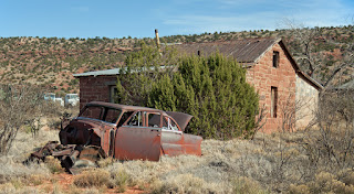
Cuervo is a great little ghost town, featuring a church, an abandoned school, and many abandoned houses. The church is NOT abandoned.
The town sits about 17 miles east of Santa Rosa, just off I-40 (and old Route 66), in Guadalupe County. Access is easy, but remember that not all the buildings are unoccupied, especially towards the back of town. Like the rest of New Mexico, there may be snakes, and there will definitely be stickers, thorns, and burrs.

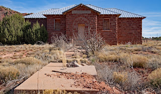
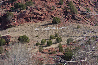

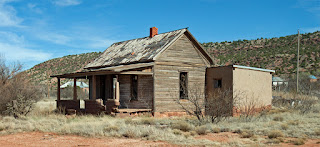


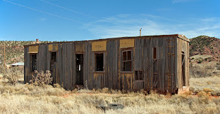


The town sits about 17 miles east of Santa Rosa, just off I-40 (and old Route 66), in Guadalupe County. Access is easy, but remember that not all the buildings are unoccupied, especially towards the back of town. Like the rest of New Mexico, there may be snakes, and there will definitely be stickers, thorns, and burrs.


Friday, November 3, 2017

Wednesday, August 16, 2017

Wednesday, July 5, 2017
Tucumcari's Railroad Tunnel

Monday, June 19, 2017

Tuesday, May 30, 2017


Friday, May 26, 2017
Old Testament Gas Station
 |
| Newkirk, New Mexico |
Q. Did you know there are motorcycles in the Bible?
A. Yes, "The roar of David's Triumph was heard throughout the land."
Monday, May 22, 2017


Saturday, May 20, 2017


Tuesday, May 16, 2017


Monday, May 15, 2017
Anybody know what this is?

UPDATE: According to the good people at the Tucumcari Historical Museum, it's a pump house. I assume it was to pump water to the pool at the nearby park, which was quite large. More on the park soon.
Wednesday, May 3, 2017
Did Quanah Parker get his kicks on Route 66?


No, of course not, the famed Comanche leader died 15 years before Route 66 was opened. However, Quanah travelled a similar route during his days on the Comancheria. According to this Quanah Parker Trail marker in Vega, Texas, Comanches travelled between Vega and Tucumcari on a fairly regular basis. It wasn't always motels and gas stations.
Saturday, April 29, 2017

Thursday, April 27, 2017

Wednesday, April 26, 2017
Abandoned 66

Wednesday, April 19, 2017
Route 66, The Road Segments: Glenrio to San Jon

When the road became part of Route 66 in 1930, road builders realigned it to eliminate stream crossings and run parallel to the railroad lying to the south. Engineers raised the grade and added several concrete culverts, often marked by short guardrails consisting of wood posts and connecting steel cables. Notable along this segment are four creosote-treated beam bridges east of Endee built during the 1930 alignment. These structures characterize bridge building over many of the flood plains and shallow riverbeds of the State in the 1920s and early 1930s. The cross sections of the early roadbed and the bridges remain largely unaltered.
When the road was turned over to Quay County, it was given a gravel surface that enhanced its historic feeling and recalled the era of Route 66 that preceded its paving in the 1930s. This segment served as Route 66 until 1952. Link

Saturday, April 15, 2017

Subscribe to:
Posts (Atom)